

Drone Mapping & Survey: Changing project perspectives
In-house unmanned aircraft pilots
The most up-to-date existing conditions in rapidly changing areas
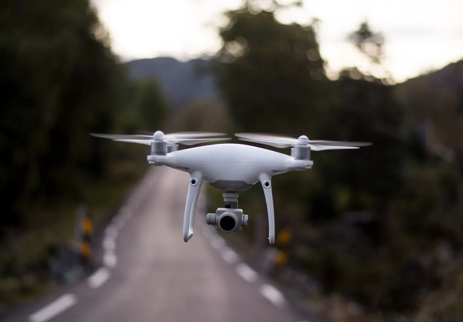
Our in-house unmanned aircraft pilots use Drone Aerial Mapping technology (UAVs) to measure, locate, and produce high definition orthomosaic maps and topography. Drones allow us to deploy quickly to job sites to deliver high-resolution, three-dimensional measurements with precision and accuracy. Our drone mapping technology shows the most up-to-date existing conditions in rapidly changing areas, enabling us to put out the best designs in the most cost-effective manner.
With drones, we create orthophoto and topographic base maps, point clouds, volumetric analyses, inspections, and three-dimensional visualizations from a safe distance. We have deployed UAVs to facilitate data collection for a wide range of projects, from traffic and planning studies to preliminary design. We also use drones to help create project-concept videos that increase public understanding of projects and design principles. By changing the point of view on a site, drones can provide more qualitative and meaningful data to a project.
Cost-effective surveying for any client
Rapid data acquisition and turnaround
Vertically integrated for added value

Start a project
Want to learn more?
Contact one of our drone mapping experts.