

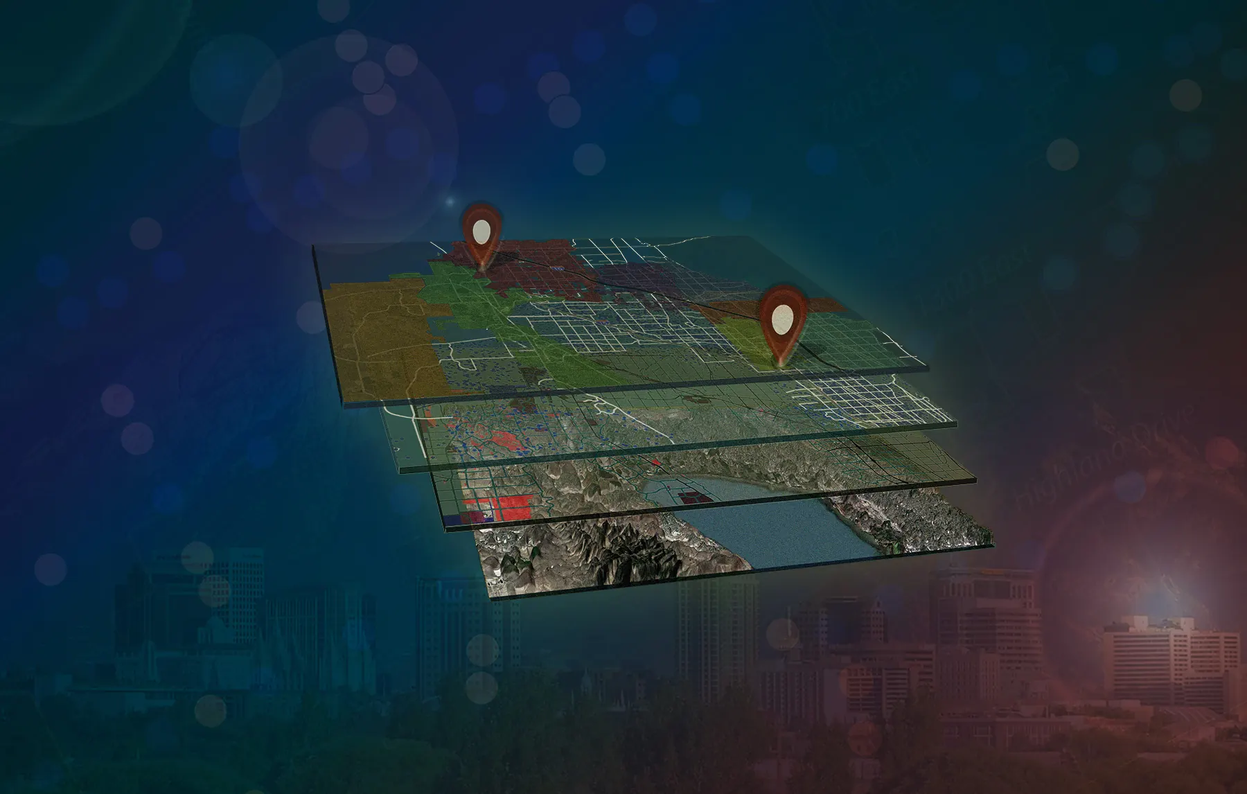
Geographic Information Systems (GIS): Turning location data into maps anyone can understand
Complex data, clear understanding
We help clients see patterns, understand challenges, and make informed decisions
Our Geographic Information Systems (GIS) team brings data together to answer complex questions about places, infrastructure, and communities. We analyze geographic patterns and relationships to help clients assess existing conditions, compare alternatives, and prioritize improvements.
Through interactive maps, custom dashboards, and clear graphics, we make project information accessible to decision-makers, project teams, stakeholders, and the public. Whether supporting planning, tracking project information, or gathering community input, our GIS tools transform data into information that is both useful and usable.
Interactive maps that make complex information accessible to clients, project teams, and the public
Custom dashboards that help clients explore data, track progress, and guide decisions
Geospatial analysis that reveals patterns, trends, and relationships across locations and over time

Start a project
Want to learn more?
Contact one of our GIS experts.